 vesseltracker.com
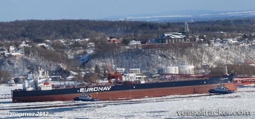
Vessel CAP LARA IMO: 9330874, MMSI: 636021483 Crude Oil Tanker
UTC, 1.29510, 103.73707, course: 114, speed: 0
UTC, 1.29515, 103.73705, course: 114, speed: 0
2026-02-09 08:10:32 UTC, 1.29510, 103.73695, course: 114, speed: 0.1
Live AIS position:
UTC. Near PASIR PANJANG Terminal),
updated 2026-02-09 08:10:32 UTC.
Find the position of the vessel CAP LARA on the map. The latter are known coordinates and path.
marine traffic ship tracker show on live map
The current position of vessel CAP LARA is 1.29510 lat / 103.73695 lng. Updated: 2026-02-09 08:10:32 UTCCurrently sailing under the flag of Liberia
CAP LARA built in 2007 year
Deadweight:
158826 tDetails:
Last coordinates of the vessel:
UTC, 1.29512, 103.73712, course: 114, speed: 0UTC, 1.29510, 103.73707, course: 114, speed: 0
UTC, 1.29515, 103.73705, course: 114, speed: 0
2026-02-09 08:10:32 UTC, 1.29510, 103.73695, course: 114, speed: 0.1